News

Sometimes data are too complex. Stories give them form.

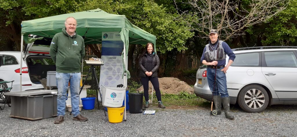
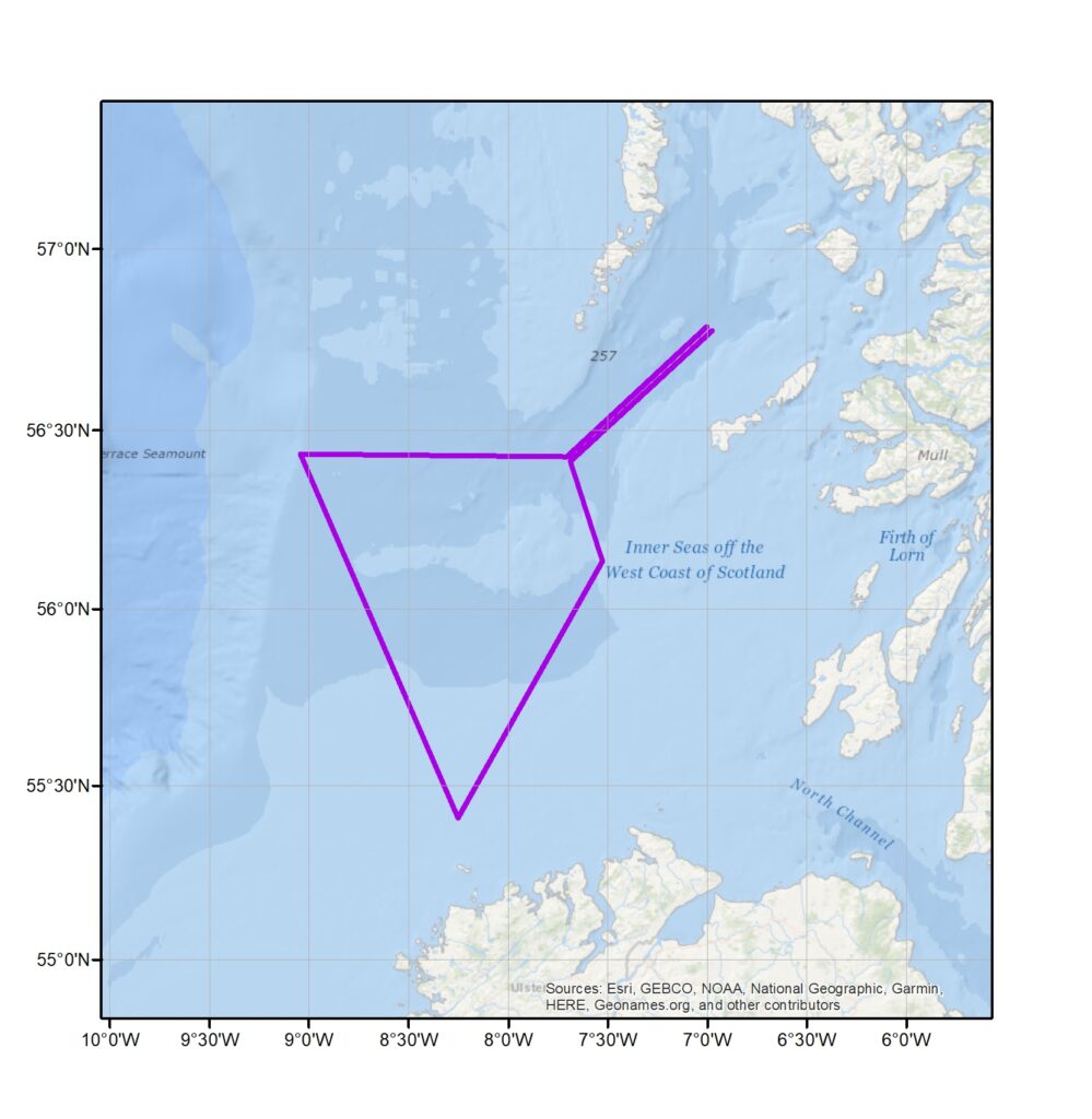
During the discussions around Data Management at the November 2020 virtual MPA projects meeting, among the important points made was that as scientists we often get incredibly focussed on details in a very specific field and bringing those details back together with a narrative, with a story, is vital in communicating our results. One highly visual way of doing this is through “Story Maps” that combine interactive spatial data with text and other multimedia to inform and to inspire. Over the 2020-21 winter, the COMPASS project Data Management team have worked with researchers at Afbi and Inland Fisheries Ireland to produce a Story Map highlighting some of the results from the project’s salmonids work package. Find the Story map at: Story Maps | COMPASS Data Portal (arcgis.com)

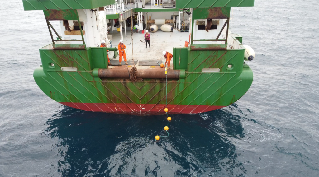
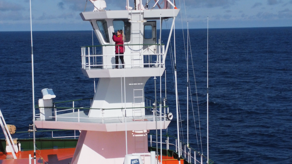
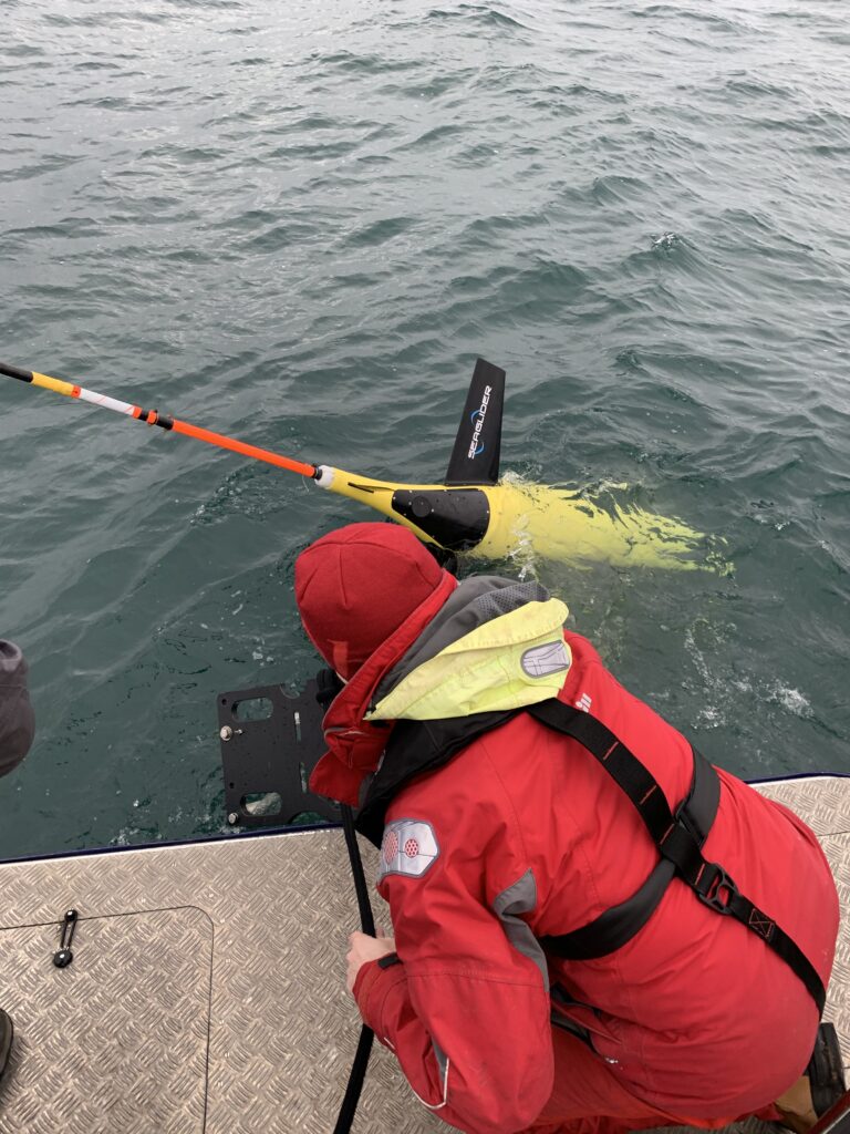
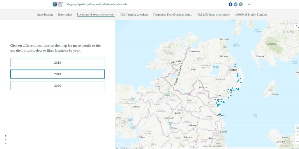
The story map helps to show the progression over 2018, 2019 and 2020 of the locations at which acoustic receivers were deployed in the marine environment to detect fish tagged by the project. The story map also shows the location of year’s tagging activity and details of the fish species and life stage of the fish tagged by catchment during these years. The story map also brings in descriptive text provided by the work package team to describe the fish tagging and data collection process and also includes video of acoustic receiver deployments and fish tagging.

Story maps for Salmonids

We look forward to producing more story maps to show the progress made on other work packages in the COMPASS project.

  • With apologies to the film director Jean-Luc Goddard for misquoting him in the title…

SEUPB visit to COMPASS fish tagging site

SEUPB Director, Leanne Massey visit to COMPASS salmon tagging station on River Shimna

The COMPASS project was delighted to welcome Leanne Massey, @SEUPB director, on a recent visit to the Shimna River  in Newcastle, Co Down to learn more about the salmon and sea trout tagging work for this EU INTERREG-funded project. This  study  is being undertaken by the Agri-Food and Biosciences Institute and Inland Fisheries Ireland in a number of rivers  on the North – East coast of Ireland to track salmon and sea trout a on their previously unrecorded migrations at sea .

To tag the fish, first you need to catch them. COMPASS scientists have been supported throughout the project by able volunteers from the Shimna River Angling Club, who recognise the importance of this scientific research for the conservation of stocks in these rivers for future generations. Dr Richard Kennedy said “The data we have been able to gather from this work has already demonstrated some interesting and hitherto unknown behaviour in the migratory patterns of these fish. We hope that the work being done today will unlock yet more new information. By  combining the results of our research with COMPASS Oceanographic work  we aim to find out more about why the fish use particular migration routes and feeding areas, and link the fish with environmental information in models designed to support management in  a cross-border network of Marine Protected Areas (MPA).

To Rockall and back

Deployment of Acoustic Receivers during the UN Decade of the Ocean cruise (Photo credit: Paul Stapleton)

This summer the COMPASS project joined a United Nations Decade of the Ocean cruise visiting the North Atlantic Shelf region, including Fangorn and Rockall Bank. The work was undertaken using the Marine Institute’s vessel the Celtic Explorer. It departed in July with scientific operations led by National University Ireland (Galway). The collaborative cruise plan for the trip was developed by COMPASS researchers (Adam Mellor & Denise Risch) and Prof Louise Allcock (Principle Investigator, NUIG) with COMPASS activity forming part of this multi-disciplinary cruise. Rhiannon Lamb, who is using COMPASS data for her MPhil on minke whale vocalisations from West Scotland, was on board the cruise for COMPASS to collect and deploy moorings. Rhiannon also deployed the towed hydrophone array which will provide data to identify presence of marine mammals that vocalise in the frequency range 0-24kHz, while simultaneously collecting ocean ambient noise data. Several marine mammal visual surveys were conducted too. The data from the research trip will provide valuable offshore data to assist with future management of the marine environment and its protected species.

Rhiannon Lamb undertaking visual surveys (Photo credit: Paul Stapleton)

Mission possible – Ardberg glider deployed for COMPASS

The third COMPASS glider mission is underway with the Seaglider (Ardberg) deployed by Scottish Association for Marine Science on 3rd March 2021. The glider deployed in the Hebrides, off the West coast of Scotland, will contribute to the oceanographic and acoustic observational programme for the INTERREG Va funded COMPASS Project. As with two previous glider missions, which took place in 2018 and 2019, this mission will provide high-resolution datasets of water properties from the Malin shelf, spanning coastal Irish waters, coastal Scottish waters and Atlantic influenced waters near the shelf edge.

Deployment of the Ardberg Glider 2021

This mission will last 6 to 8 weeks and type of data collected will includes temperature, salinity, oxygen, dissolved oxygen, chlorophyll, fluorescence and optical backscatter. As with previous missions the gliders are fitted with passive acoustic sensors to detect and monitor marine mammals which will enhance the work undertaken by the COMPASS Cetacean Team.

COMPASS mission route for Seaglider (Ardberg), 2021.

If you interested in following progress of the glider and view real-time data go to http://vocal.sams.ac.uk/

Automated instrumentation allows COMPASS science to continue

Back to work on the COMPASS project for the RV Corystes as it leaves Belfast Harbour

The impact of lockdown due to the coronavirus pandemic has been felt by the COMPASS project, which saw tagging, routine environmental sampling and work on research vessels reduced or stopped.

The project has, however, shown much resilience during this challenging period by spending more time on data analysis and reporting, and also on planning and preparing for post COVID-19 operational activity.

Thankfully, automated instruments that were already in place at sea and in the rivers continued to collect data, including the acoustic receivers to collect data on whale and dolphin activity, and estuarine and coastal receivers collecting data on salmon and trout movements. 

COMPASS researcher Alejandro from Marine Science Scotland models the latest PPE

As operations re-started in a restricted mode in July, the researchers at SAMS, AFBI and MSS have been endeavouring to recover instruments which may present some interesting questions. How long did the instruments continue to operate for during lockdown? Has there been a reduction in ocean noise due to reduced traffic?

Over the next few months the oceanographic moorings will be serviced and replaced, the acoustic instruments will be located and collected by AFBI and MSS using their research vessels, and the estuarine and coastal receivers will be collected by AFBI and IFI who have also resumed the tagging of fish. 

One the main outputs of COMPASS is to develop telemetered data systems so that data is sent automatically to researchers from the existing network of buoys. Despite the challenges of lockdown, an opportunity was created to test these systems and plan for its completion, with assistance by the Data Management teams at partner institutes.

Now that we are out of stricter conditions of lockdown this network is being finalised and this is assisted by research vessels from the Scottish (SAMS/MSS), Northern Irish (AFBI) and Irish (MI) partners, who have been returning to the buoys to ensure data is collected, equipment is set-up and maintenance is undertaken.

Revealing the sounds of lockdown seas

In July, COMPASS staff returned from the first research outing on the RV Corystes since lockdown, which included the collection of acoustic recording devices. These COMPASS and MarPAMM devices (sound recorders) were deployed off western Scotland and Northern Ireland throughout the late winter and spring of 2020 with many of them operating throughout the lockdown period.  The moorings aren’t normally left at sea for this length of time but due to COVID-19 restrictions field and vessel work was halted and only in the last couple of weeks has resumed with safe working measures in place.

Barnacle covered acoustic recorder recovered by COMPASS staff after lockdown

One of the unintended consequences of the restrictions imposed during the COVID-19 pandemic is that there is likely to have been a reduction in human activities at sea. This could include passenger transportation (e.g. ferries), recreational boating, and even business traffic such as commercial fishing and transport of freight.

Underwater noise can have a negative impact on cetacean species as they rely on sound for so many important functions such as communication, foraging and navigation. In the coming months it will be interesting to see if we can see (hear) any changes in cetacean vocalisations in the COMPASS array.

Researchers in Canada have been carrying out real time observations of the impact of COVID-19 on underwater noise (Thomson & Barclay, 2020). They have observed a significant decrease in low frequency sounds (associated with shipping) during the lockdown period. There are now international efforts to coordinate this work on ambient noise monitoring and we are hopeful that COMPASS can contribute to this effort.

One of the benefits of multi-year studies, such as those undertaken by the COMPASS project, is that a baseline can be established, against which potential effects of changes in human activities, as well as animal occurrence, can be identified. COMPASS has been collecting data since 2017, so it is possible that any reduction in shipping activity in 2020 will be evident, in relation to previous years.

This serendipitous experiment is something that the COMPASS project partners, in collaboration with MarPAMM colleagues, will be investigating further in the coming months, as sound recorders are recovered and data become available.