COMPASS data – project models, Story maps and more …
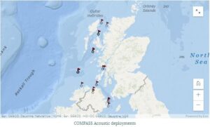
Unique among the three Interreg Va Marine Protected Areas projects, COMPASS has a dedicated work package on Data Management. One of the key goals of this work package was to provide a platform on the Web to allow general users to access the data collected from the network of monitoring buoys deployed by the partners. This builds on both technical and process knowledge shared between the project partners in the Data Management work package and combines data from the Oceanography, Salmonids and Modelling work packages in one location.
In addition to presenting the data in easy to access and understand forms (including graphs of observations and animations of model outputs), a story map has been developed with the Salmonids work package. Story Maps allow the combination of data (maps, graphs) with other media (text, videos, images) to improve the communication of narrative information about a dataset.
The web portal can be found here: https://compass-data-portal-marineinstitute.hub.arcgis.com/
The model visualisations can be found here: https://compass-data-portal-marineinstitute.hub.arcgis.com/pages/model-data-viewer
The Salmonids story map can be found here: https://storymaps.arcgis.com/stories/36821417d6b549d4a8f5639ad4181bbf

