COMPASS
Collaborative Oceanography and Monitoring for Protected Areas and SpecieS
Meet the COMPASS Scientists – Jennifer Scott describes her work at the Loch Ewe Data Buoy
Jennifer Scott is an Oceanographer based at Marine Scotland and recently started working on the EU INTERREG funded COMPASS project. Here she explains her role on the project and the involvement of Marine Scotland on the project:
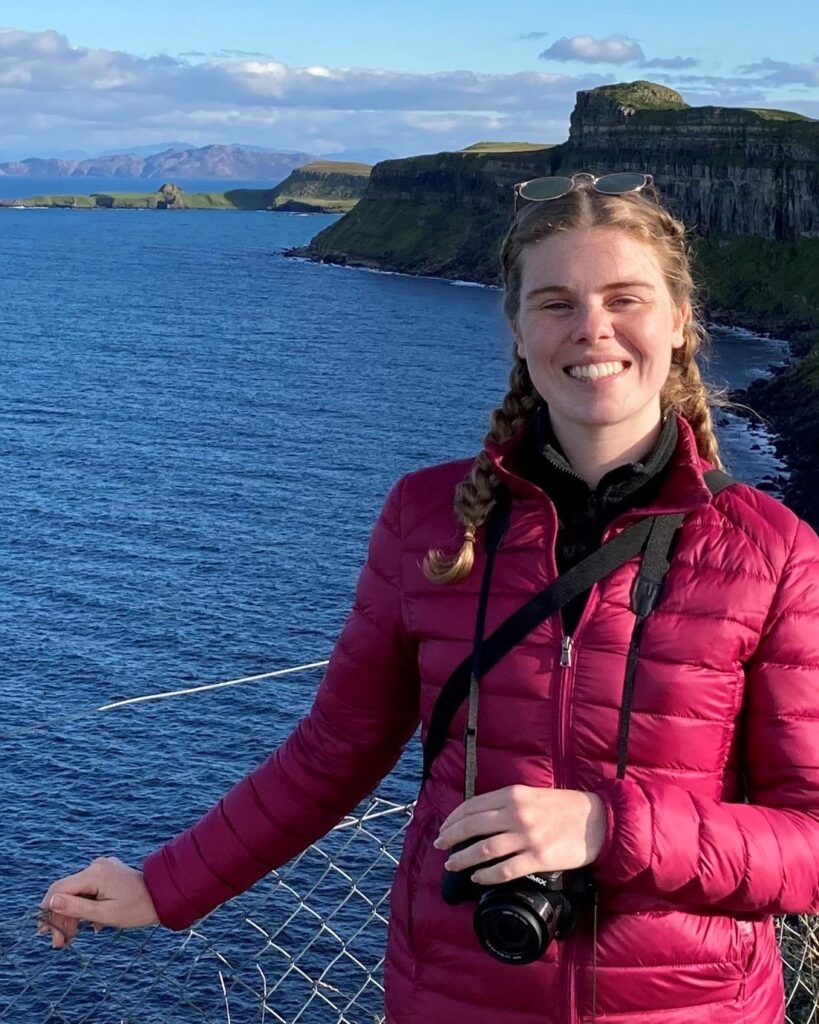
I was fortunate to visit our monitoring site in Loch Ewe in late June to carry out maintenance on our pCO2 sensor and download the last few months of data. Having started at Marine Scotland Science as an Oceanographer on the COMPASS project in April of this year it was my first time meeting a colleague in real life and seeing them as more than just a face on a screen (thanks Pamela Walsham), and my first fieldwork for the project.
The pCO2 sensor we have deployed in Loch Ewe measures the carbon dioxide concentration of the surface water on a daily basis. With CO2 concentrations increasing in the atmosphere, and the oceans absorbing around a third of all of human emissions so far, we are monitoring the affects this is having on the chemistry of the water at Loch Ewe to better understand what this might mean for similar Scottish coastal environments.
Marine Scotland Science have been monitoring environmental conditions at Loch Ewe since 1999, with the initial measurements being surface water temperature. Since then we have upgraded to a shiny new data buoy which was deployed in December 2020. The data buoy is part of the COMPASS project’s network of monitoring buoys across the regional seas of the Republic of Ireland, Northern Ireland and West Scotland. It measures the surface water temperature and salinity, current speed and direction throughout the 40 m water column, wave height and direction, and weather conditions at the site every 10 minutes. We can then view the data live as the buoy is equipped to send the data out automatically.
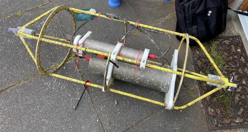
Photo caption: The pCO2 sensor for Loch Ewe after the barnacles had been scraped off. Our maintenance checks involve removing anything trying to make the sensor its home and checking all of the electronics are in order. We then download the last 3 months of data and charge up the batteries before Jane Grant, our contractor at Loch Ewe who looks after the COMPASS pCO2 sensor and data buoy, returns the sensor to the water. (Photo credit: Jennifer Scott)
The data we are collecting in Loch Ewe from the data buoy and pCO2 sensor, along with weekly water sampling to measure physical water properties, nutrient concentrations and the plankton community for the Scottish Coastal Observatory, provide us with a detailed understanding of how our coastal waters vary through time. We need these long term monitoring programmes over multiple decades to identify long term changes in Scotland’s coastal ecosystems amongst the shorter term annual and seasonal variation.
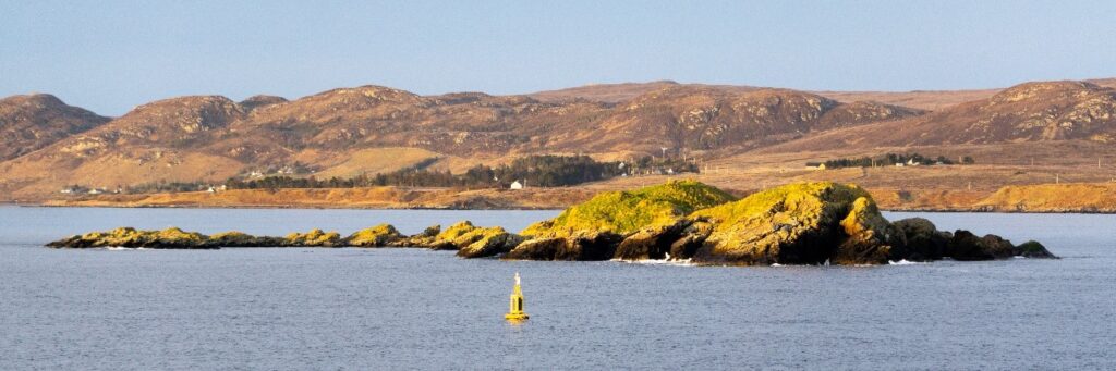
Photo caption: The Loch Ewe COMPASS data buoy as seen from the Marine Scotland research vessel RV Scotia on a glorious sunny day in May 2021. The buoy is located in the outer basin of Loch Ewe, north west of the Isle of Ewe pictured here. (Photo credit: Helen Smith)
I am really looking forward to working further on the COMPASS project with the data coming from Loch Ewe. My role over the next year will involve creating a data management plan for the data buoy data to share this with the public, as well as assessing the scientific questions we can answer with the abundance of data we are collecting. Part of my time will also be spent visiting Loch Ewe, time I look forward to greatly!
For more information on the Loch Ewe site visit the dedicated Marine Scotland web page Loch Ewe COMPASS metocean buoy | Marine Scotland Information